The View from Orbit vs. The View from the Tractor
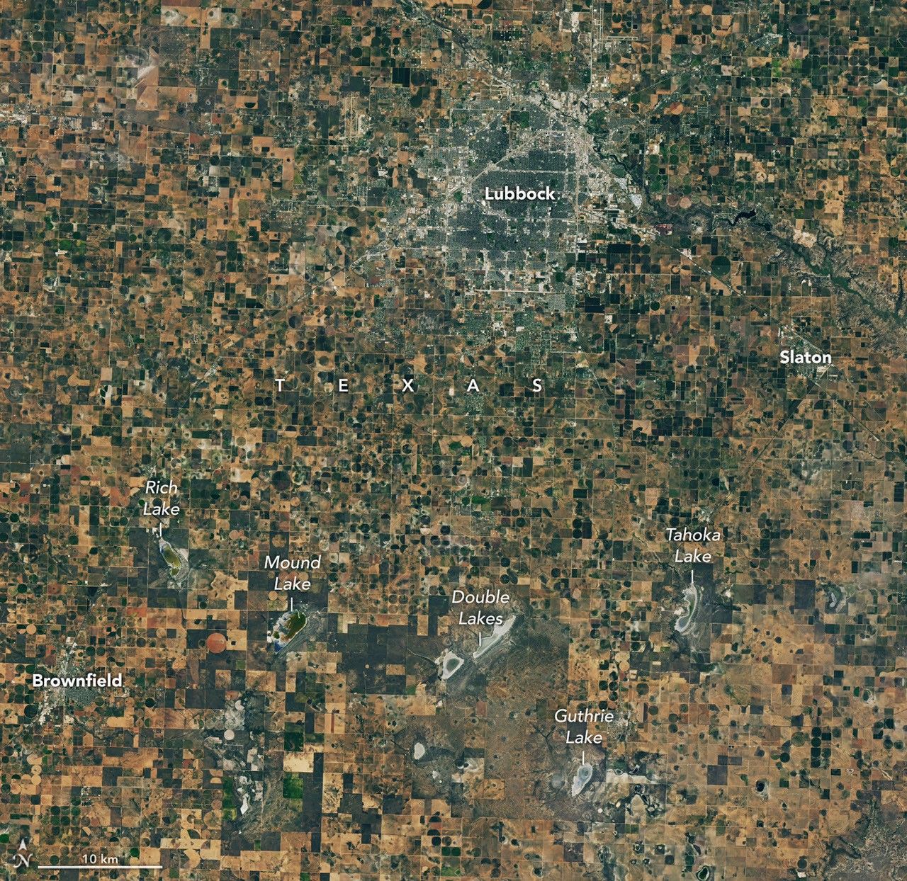
There is a recurring theme in the tech world where we build incredible tools in a vacuum, only to realize they do not solve the problems people actually have. We see it in crypto with protocols that nobody uses, and we see it in AI with models that hallucinate basic facts. Recently, NASA scientists took a break from their screens to visit the Texas High Plains, a region responsible for a massive chunk of the world's cotton. They were not there to show off; they were there to listen to farmers who are watching their livelihoods dry up.
The disconnect is simple: NASA has satellites like GRACE-FO and Landsat that can measure soil moisture and groundwater changes from space. But for a farmer in Lubbock or Amarillo, a colorful heat map of the state does not tell them when to turn the pump on or off. This meeting of the minds is a case study in why user experience and ground-truth data matter more than the sophistication of the hardware.
The Ogallala Problem
The Texas High Plains sit atop the Ogallala Aquifer. For decades, this has been the lifeblood of American agriculture. But the Ogallala is a finite resource. It is being pumped out much faster than it can be recharged by rainfall. In some areas, the water table has dropped hundreds of feet. When the water runs out, the economy of the region goes with it.
Farmers are caught in a brutal feedback loop. To survive a drought, they pump more water. Pumping more water lowers the aquifer, making future droughts even harder to manage. NASA’s interest here is not just academic. They are trying to refine their OpenET platform, which uses satellite data to calculate evapotranspiration—the amount of water evaporating from the soil and transpiring from plants. If this data is accurate, it helps farmers optimize every drop. If it is off by even a small percentage, it is useless to a commercial operation running on razor-thin margins.
Why Builders Should Care
If you are building in the AI or data space, this story is a blueprint for how to handle complex datasets. The NASA team realized that their high-level telemetry needed to be calibrated against the actual sensors farmers have in the ground. This is the "oracle problem" of the physical world. You can have the best algorithm in the world, but if your input data lacks local context, your output is noise.
For founders, the takeaway is about the feedback loop. NASA did not just send a survey; they went to the farms. They stood in the dust. They heard about the specific challenges of cotton—a crop that is incredibly hardy but requires precise timing for irrigation to ensure the fiber quality meets market standards. Builders often spend too much time in the IDE and not enough time in the field. Whether you are building a DeFi protocol or a climate-tech startup, your users are the only ones who can tell you if your data actually reflects reality.
The Tech Stack of the Modern Farm
We often think of farming as a low-tech industry, but the modern Texas cotton farm is a data-heavy enterprise. They are using moisture probes, automated pivot irrigation, and precision planting. The bottleneck is not the lack of tech; it is the lack of interoperability. NASA’s goal is to integrate their massive datasets into the tools farmers already use.
This is where the opportunity lies for the next generation of builders. We do not need more dashboards. We need better integration. We need systems that take satellite imagery, local sensor data, and weather forecasts, and turn them into a single, actionable decision. The farmers in West Texas do not want to be data scientists; they want to know if they should irrigate on Tuesday or wait for the rain on Thursday.
The Skeptic's Corner
While it is great that NASA is engaging with the community, we have to be honest about the limitations. Data does not create water. You can have the most efficient irrigation system in the world, but if the aquifer is empty, the tech is irrelevant. There is a risk of "solutionism" here—the idea that if we just measure the problem better, the problem goes away.
The real value of this collaboration is in policy and long-term planning. By proving exactly how much water is being used and how fast the aquifer is depleting, NASA provides the evidence needed for more sustainable water management. It is a grim reality, but data is the only tool we have to manage the decline of a vital resource.
Key Takeaways for the Founder Perspective:
- Ground-truth is king: No matter how good your remote sensing or AI model is, it must be validated by physical reality.
- Solve for the user, not the tech: Farmers need actionable insights, not more raw data.
- Interoperability is the gap: The biggest wins in tech right now are found in connecting existing silos of information.
- Resource scarcity is the ultimate constraint: Tech can optimize, but it cannot replace the fundamental inputs like water or energy.
The situation in Texas is a reminder that the most important problems are often the least glamorous. While the tech world obsesses over the latest LLM benchmarks, the people feeding and clothing the world are struggling with basic resource management. If you want to build something that matters, look at the places where the data meets the dirt.
Read the original at NASA Breaking News →